
Town of Montgomery Previous Residents by Era
Town of Montgomery past-resident research has a long record trail, but it is not one continuous list of occupants. County deeds and mortgages establish recorded land transactions. Census schedules and directories help identify historical households. Atlases and Sanborn maps supply road, farm, and building context. The strongest result states what the source actually shows, such as recorded owner, directory occupant, census household, atlas landowner, newspaper-noticed person, or permit applicant. That distinction matters because a name connected with a parcel is not automatically proof of occupancy.
| Source | Years | Where Held | What It Shows |
|---|---|---|---|
| Deeds and mortgages | 1703–1869 for mortgages; deeds through 1900 in historical books | County historical resources, FamilySearch, OCGS, and County Clerk routes | Transfers, parties, legal descriptions, and parent-tract clues |
| Orange Surrogate probate index | 1787–1941 | OCGS microfilm and Surrogate access route | Will or probate leads tied to a name |
| Federal census | 1790–1880; 1900–1930 | Orange County Genealogical Society microfilm | Household, age, relationship, and place clues |
| Town census books | 1825–1875 | County Record Room | Town-organized historical household evidence |
| Vail directory | 1871/72 | NYPL record and county-directory sources | Farm, business, name, and address context |
| Orange County atlas | 1875 | NYPL and county historical-resource routes | Named landowners, roads, farms, and geography |
| D.S. Lawrence directory | 1878/79 | NYPL Milstein Room catalog | Residents, classified listings, and name/address context |
| Regional directory runs | 1899–1956, incomplete | OCGS and Thrall Library | Nearby-area cross-checks, not a Town-wide promise |
| Goshen and Walden newspapers | Goshen runs and Citizen Herald, 1916–1925 | Goshen, OCGS, Walden, and HRVH resources | Notices, obituaries, marriages, events, and local names |
| Sanborn catalog item | 1924–1937 | Library of Congress catalog | Street and built-environment context, not a resident list |
| Current records | Current roll and recorded-document access | Town, GIS, SearchIQS, Image Mate, and County Clerk | Current assessment and recorded-transfer starting point |
Use the era closest to the question first. A recent transfer starts with the parcel and County Clerk material. A nineteenth-century road or farm reference often needs an atlas, deed book, and town census together. The regional directory runs are useful cross-checks, but the research did not verify a complete printed Town of Montgomery run or a complete reverse directory.
Town of Montgomery Past Resident Starting Point
Freeze the target before searching backward. Use the Orange County GIS viewer to record the parcel ID, tax-map value, situs address, municipal label, road position, and current parcel shape. Then note the date on the applicable assessment roll. The GIS parcel is a map and index tool, while the roll is a tax snapshot, so record their dates separately. A later subdivision or address change can otherwise shift the subject without notice.
Next, use the Town of Montgomery BAS tax search by property address, owner name, or tax map number. This can help confirm the assessment-side name and tax-account context. It does not establish who occupied the site. Keep any owner mailing address distinct from the situs address, which is the physical parcel location.
- Parcel ID
- The identifier returned by the GIS or tax-map system for a specific piece of land. It is the useful bridge between map, assessment, and deed research.
- Situs address
- The physical location of a parcel. It can differ from the owner mailing address and from older deed wording.
- Recorded owner
- A person or entity identified through a recorded transfer or current assessment source. The term does not state present occupancy.
Note: Preserve the exact parcel value and the source date, because assessment and recording systems update on different schedules.
Town of Montgomery Deed Records Chain
The Orange County Clerk’s deed trail is the central route for Town of Montgomery previous residents research when the question is ownership history. Search the most recent known owner as grantee through SearchIQS or use the County Clerk’s Record Room if the online image or date range is unavailable. Capture the instrument number or book and page, recording date, grantor, grantee, legal description, prior reference, and any map or easement reference before opening the earlier transfer.
- Use the current parcel and assessment date to define the target. Save the tax-map and GIS identifiers with the situs address.
- Find the current recorded owner as grantee. Read the deed’s legal description and prior-deed reference instead of relying on a street number alone.
- Move to the prior instrument and repeat the comparison of parties, date, legal description, acreage, road, lot, or adjoining-owner clues.
- If the description says the parcel was part of a larger tract, follow the parent deed and any referenced subdivision map before assuming the modern parcel existed.
- When online access stops, continue with the Record Room, FamilySearch historical books, or OCGS microfilm. Record whether you saw an index, an image, or a certified copy.
- Grantor
- The party transferring an interest in a recorded deed, commonly the seller.
- Grantee
- The party receiving an interest in a recorded deed, commonly the buyer.
- Chain of title
- The sequence of recorded transfers used to connect one owner or tract to an earlier one.
- Legal description
- The deed’s lot, tract, road, acreage, or boundary description. It is often more reliable than a modern street number for old Town of Montgomery records.
Search a prior owner as grantor only as a transfer trail. Match the parties, municipality, legal description, and date before connecting that result to the same Town of Montgomery parcel.
Town of Montgomery Deed Timing Clues
Mortgages, assignments, and satisfactions can add dated context to a Town of Montgomery deed chain. They may identify borrowers, lenders, legal descriptions, and recording dates. They do not independently prove ownership or occupancy. A satisfaction closes a lien; it is not a transfer of title. Searching a prior owner as grantor may reveal a later transfer, but that result remains a conveyance lead until the legal description, date, and parties match the target parcel.
The Orange County Clerk property-fraud information includes a free Property Fraud Alert signup through SearchIQS. It is a notification tool for recorded-document activity, not a substitute for reviewing the instrument and its legal description.
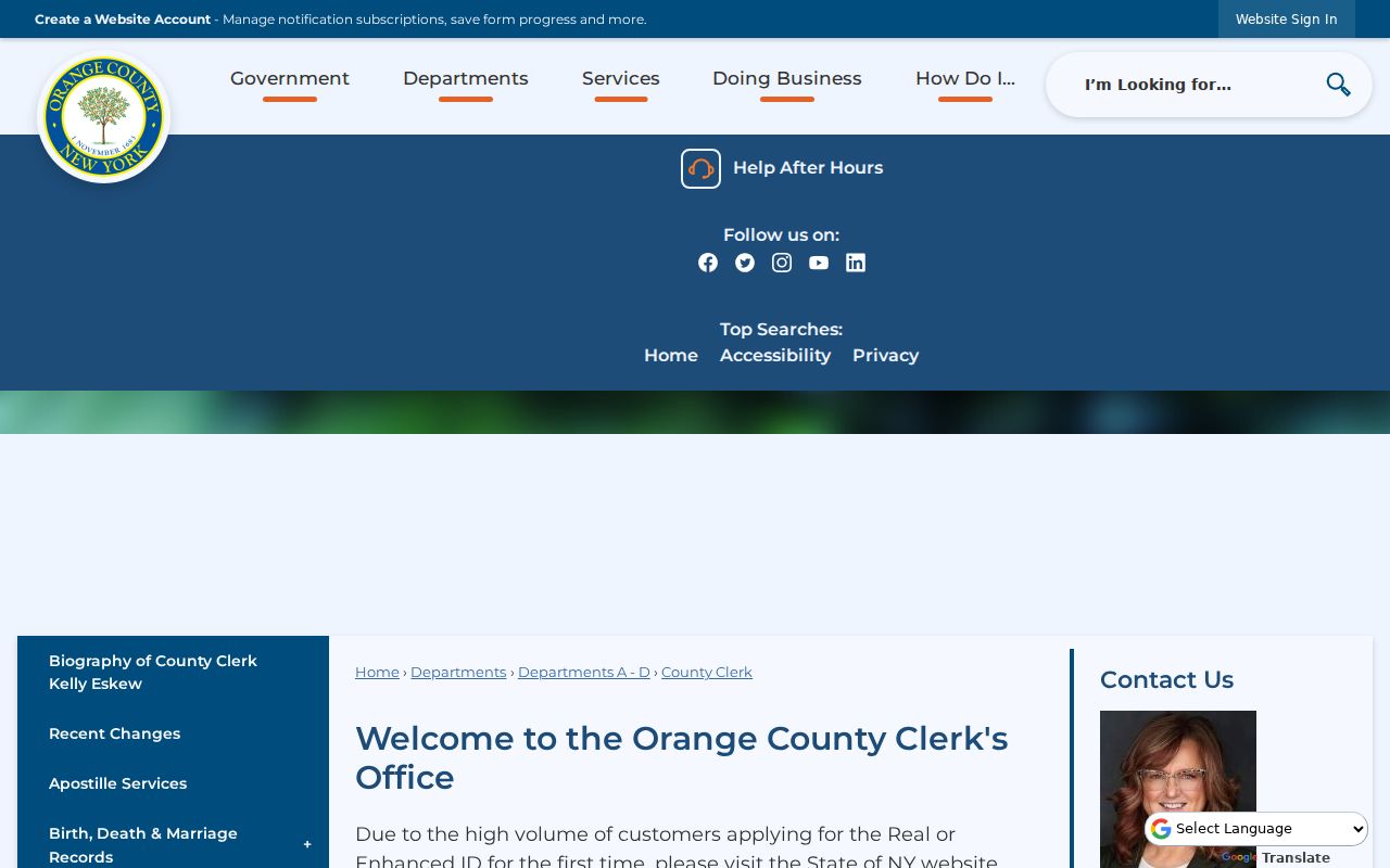
For a Town of Montgomery address history, an alert can prompt a timely County Clerk check while the deed-chain notes remain the evidence record.
Town of Montgomery Previous Resident Place Names
Older Town of Montgomery records can use labels that do not look like a current address. Ward’s Bridge later became Montgomery, and the village’s early Clinton grid includes Bridge, Clinton, and Union streets. Farm names, bridges, crossroads, mill references, lot descriptions, and adjacent owners may appear where a current house number does not. Search the historical place label and the modern municipal label, then use the 1875 or 1903 atlas layer and the deed legal description to test continuity.
Town, village, and postal labels must stay separate. Montgomery, Walden, and Maybrook have their own local institutions, and a Montgomery postal city alone does not prove a particular Town or village jurisdiction. That caution is especially important when a directory entry uses a village or hamlet name.
The Town Historian is Mary Ellen Matise and works by appointment. A focused request naming an address, road, farm, cemetery, organization, map, or date range is more useful than a broad request for every former resident. The Historic Preservation Commission maintains local-register and Certificate of Appropriateness material that may add historic-property context.
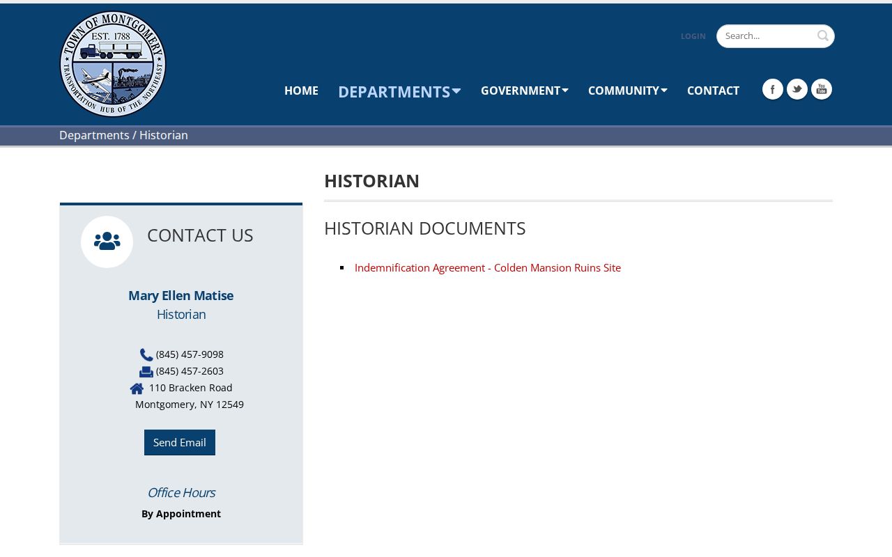
The appointment-based historian route is most useful after a parcel, road variant, or date range has narrowed the Town of Montgomery house-history question.
Town of Montgomery Household Records
Deeds describe title, not every household. For who lived here before, pair the time window with directories, census material, and newspapers. OCGS holds federal census microfilm for 1790–1880 and 1900–1930, as well as New York census material for 1825–1875 organized by town. The County describes those town census books as a Record Room route rather than an online collection. Pair the year with Vail’s 1871/72 directory, the 1878/79 D.S. Lawrence directory, regional OCGS runs, or the relevant newspaper source.
- Set the date range from a deed or other recorded event, then select the nearest directory or census period.
- Search the surname and address separately, preserving initials, spelling variants, and the printed place label.
- Compare the household clue with the parcel’s deed description and the 1875 or 1903 atlas when a road, farm, or landowner name appears.
- Check a newspaper or obituary index for time-stamped relationship and residence clues. Identify the person named in the notice rather than assuming every listed relative lived at the address.
The detailed directory collections are available through the Town of Montgomery city directories page. Here, they serve the narrower task of testing one parcel’s historical household trail. A directory can show an occupant or business in a period when the deed owner lived elsewhere, so label the evidence accordingly.
Town of Montgomery Past Resident Research Stops
When the web index cannot carry the search further, use the physical and request-based channels documented for Orange County. The County Record Room has public computers, older and fragile materials, and copy procedures. OCGS at the 1841 Historic Court House in Goshen provides deed and mortgage microfilm, probate, census, directories, newspapers, and surname files. FamilySearch and the County historical-resources page extend the historical deed and mortgage route, while library collections fill the newspaper and obituary layer.
The Goshen Local History Room has maps, manuscripts, obituary and marriage databases, newspaper microfilm, and a research-request form. Its documented research service is $15 per hour plus postage, with copies at $0.25. That is a useful fallback when the target needs a narrow newspaper, map, or local-history check rather than a broad name search.
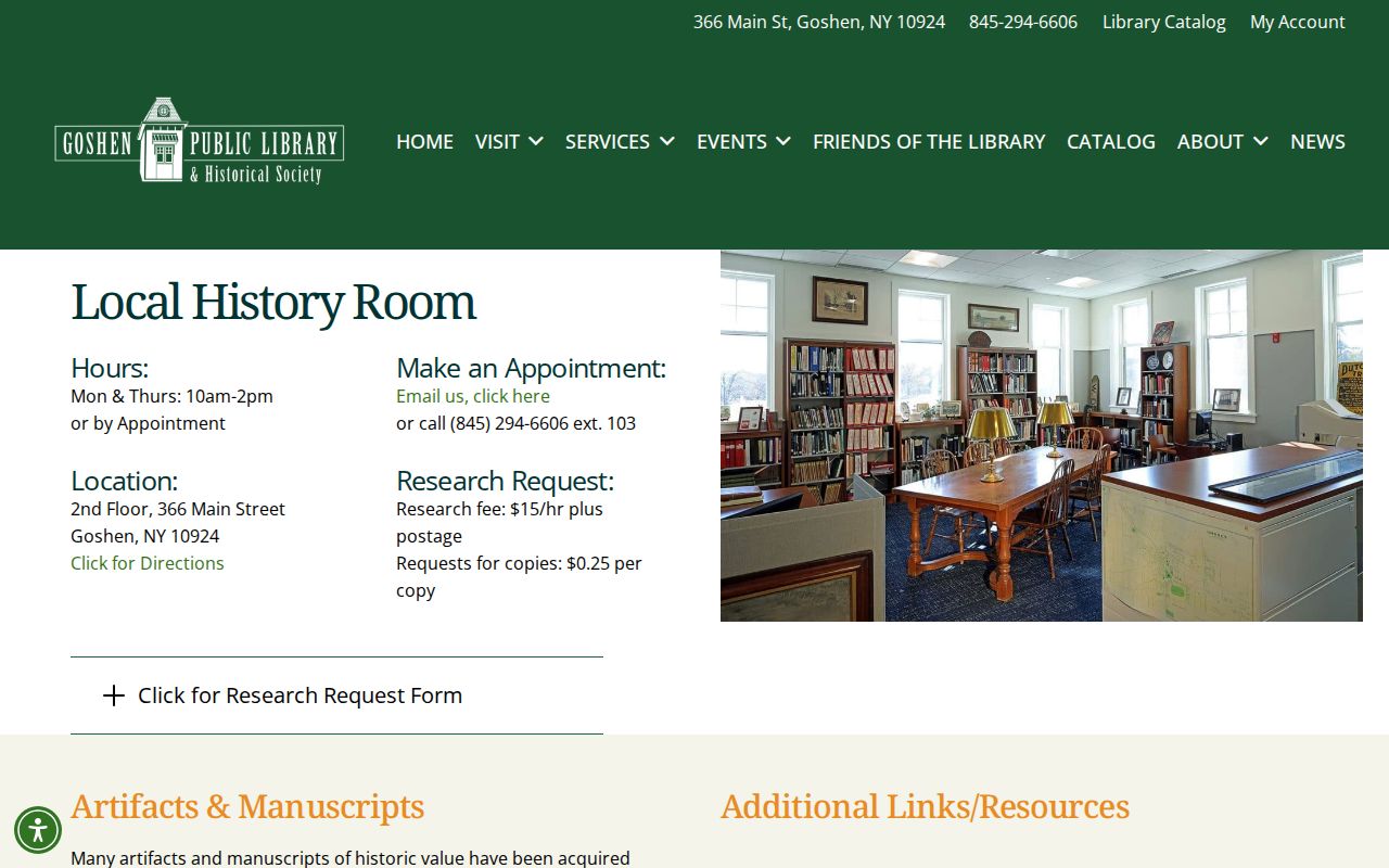
Goshen’s local-history materials complement the Town of Montgomery deed trail by preserving documentary context that a land index alone cannot provide.
For a permit, planning, or zoning question, no public Town online permit-case index was located. Request only the address and date range needed from the responsible office, or submit a focused request under New York Freedom of Information Law, Public Officers Law Article 6, through the Town’s local records route.
Town of Montgomery Previous Residents Limits
Town of Montgomery previous residents research should end at the strongest supported statement. Assessment and BAS data can identify an assessed owner or tax account, not an occupant. GIS supplies map proximity, not a survey or title conclusion. A deed establishes a recorded transfer, not a current household. Mortgages and satisfactions add timing, not proof that a person lived at the property. A directory, census, obituary, or newspaper notice is historical evidence that must be read in its own date and context.
Lawful use. Use Town of Montgomery past-resident sources for family history, estate or heir research, house history, and personal curiosity. Do not use information from these records to stalk, harass, threaten, or harm any person.
Protected addresses and confidential voter registration remain outside this kind of inquiry. The best practice is an evidence trail that names the source, access date, exact field, parcel or document number, and the limit on what the record proves.